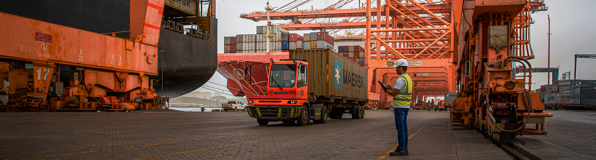

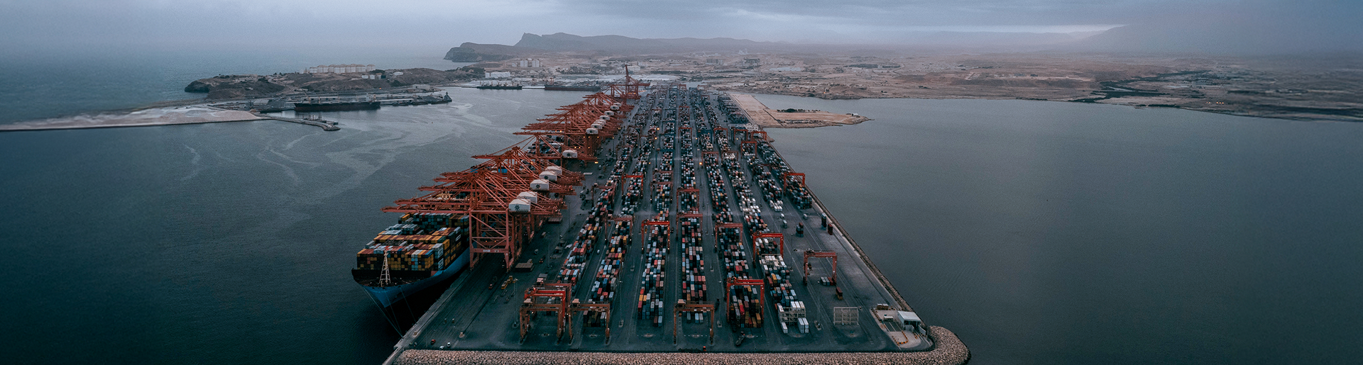


The Port of Salalah, established in 1998, has since grown exponentially into the leading and the most prominent multi-ports in the region and ranked as the 2nd most efficient container port in the world in 2021. The journey continues where the Port of Salalah aims to be the regional supply chain hub supported by a workforce focused on continuous improvement philosophy.

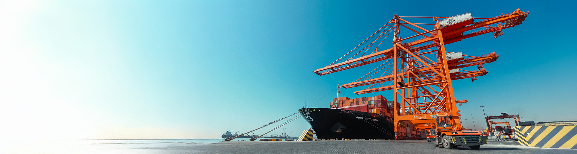
With an excellent integrated supply chain ecosystem encompassing the Port, Free Zone and Airport, the Port of Salalah serves as an effective platform for seamless international trade. The harmonious multi-modal connectivity of sea, land and air enables importers and exporters to access their global markets effortlessly and quickly, boosting efficiency and competitiveness.

Salalah is located at the crossroads of the world's trade and travel routes, making it an essential destination and redistribution hub for liner shipping and general cargo operations. Our fastest growing connectivity in the region incorporates one of the widest networks of the world's leading liner shipping companies including Maersk, MSC, CMA, COSCO and others thereby reducing the time to market.

A digital one-stop-shop allows you to explore and order services, book gate transactions, or pay online, saving you time, money and accelerate your cargo’s journey in the supply chain. We are also focused on helping accelerate the Sultanate of Oman’s digitization of supply chain though bringing innovative solutions within the reach of the trade at affordable cost.